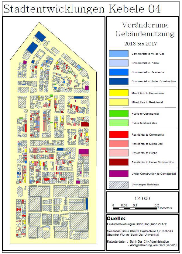
Stadtentwicklung in Subsahara-Afrika - Eine Untersuchung des strukturellen Wandel eines Stadtzentrums am Beispiel des Stadtviertels Kebele 04 in Bahir Dar, Äthiopien
Many cities of Sub-Saharan Africa have been undergoing major changes in recent years. They are characterized by many structural and social changes. Increasing population, social changes and, last but not least, attempts by the countries to achieve economic stability have resulted in changes of the cities. Normally, the urban planning focus on forming a purely commercial city center regardless of the grown social and settlement structure. In order to eliminate obsolete structures, new larger and higher buildings will be erected as part of the modernization, thus significantly changing the cityscape. The population of the city centers is displaced in the course of gentrification to create new building sites. In addition to the capitals in Africa, many smaller cities are undergoing similar processes. Bahir Dar in the north of Ethiopia is one of these cities and is therefore well suited for a case study. With the help of remote sensing data and a geographic information system (GIS), this study examines the spatial and socio-economic changes in the urban transformation of a city center into a purely commercial area. The selected district of Kebele 04 in Bahir Dar is located in the center of the city and is being studied by high-resolution satellite images supported by additional field investigations on site. The empirical data are integrated into the geodatabase of a GIS and compared in detail with different data sets from earlier surveys. Additionally, the observed development processes have been analyzed on the basis of population and social statistics. In addition, social and spatial changes were observed during field work. These analyses have been also documented. In the study there is shown that land use can be effectively managed with the support of a GIS. Generally, urban developments can be documented, analysed and evaluated on the computer with the help of GIS. Besides these general finding in the case study on hand the results obtained the study may help the local city administration of Bahir Dar in its urban planning.

