Orient-Abteilung / Oasis Settlements in Oman
This website was originally developed by Dr. Jutta Häser (until June 2008) and hosted on the servers of TFH/Beuth/BHT. Here you can see a reduced version.
The visualisation of the archaeological sites and the clarification of the natural and topographical conditions take place as a Geographical Information System. This work is prepared as a master thesis in cartography by Martin Grosch at the University of Applied Sciences Berlin (TFH), Germany. Supervised by Bernd Meißner (TFH). Editional staff and archaelogical data from Dr. Jutta Häser (DAI).

You get information about the system by a short introduction (PDF-file), in which an overview of the functions is given for the developed application.
To read the INTRODUCTION, please click HERE.
[reduced content]
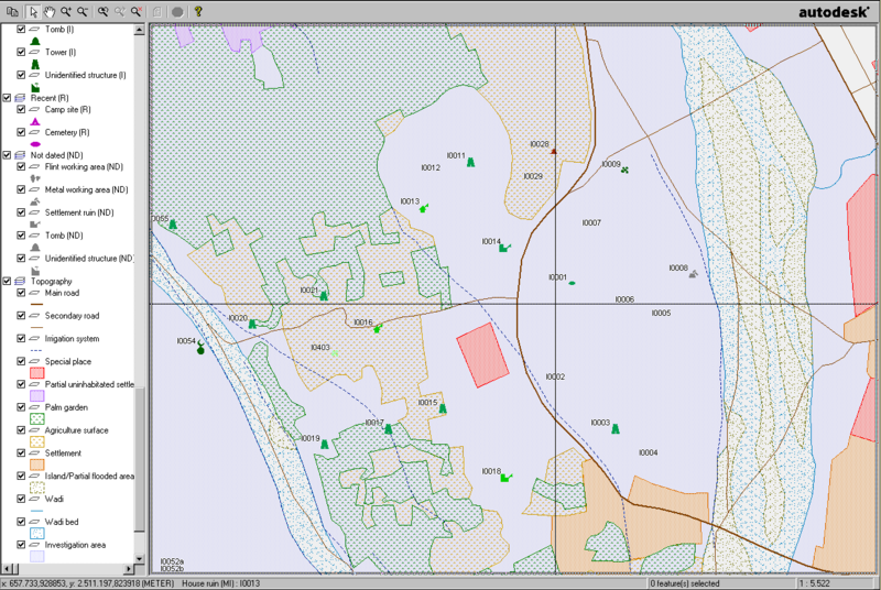
Originally, there was a link to an interactive map created with Autodesk MapGuide. However, the server behind it is no longer active.
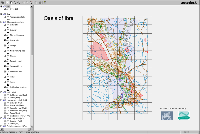
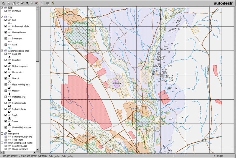
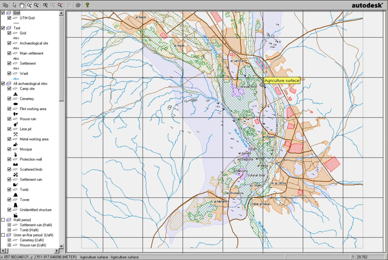
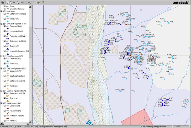
Below you will find some screenshots of the map, sections with activated satellite images, some photos that could be accessed via hotspots, and the legend.
The actual map, with all layers activated, is available here as a PDF. A (modified) version shows the map with a satellite image in the background.


Screenshots of the map

Screenshots of a map section with satellite image


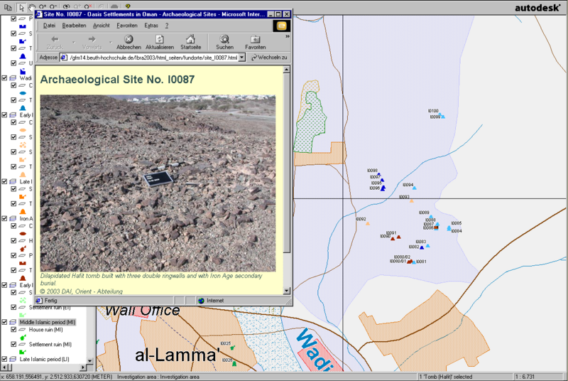
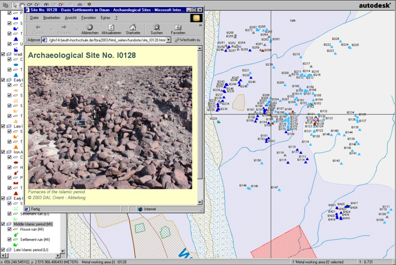
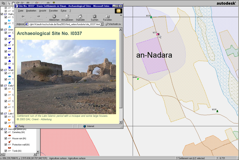
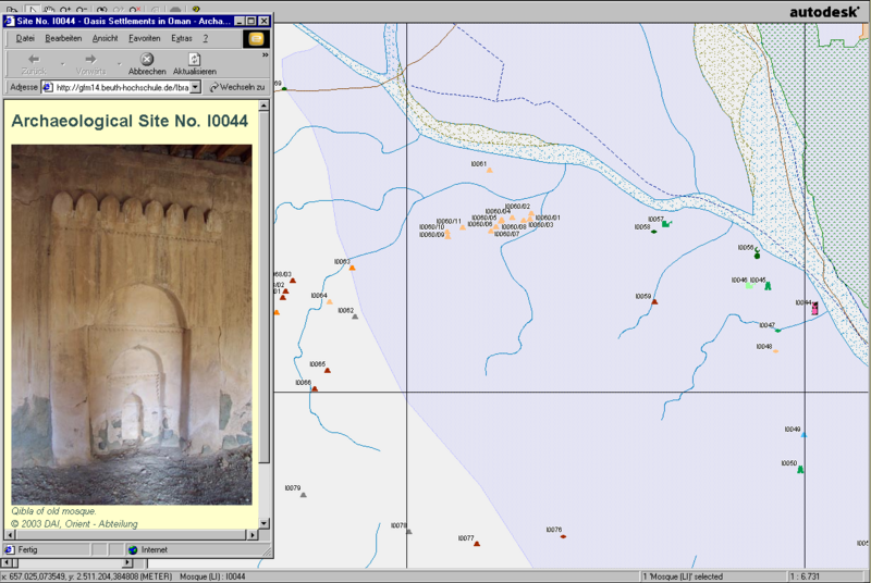
Examples of points with stored photo